Advanced LiDAR Mapping: Transforming Oil Spill Recovery and Land Reclamation
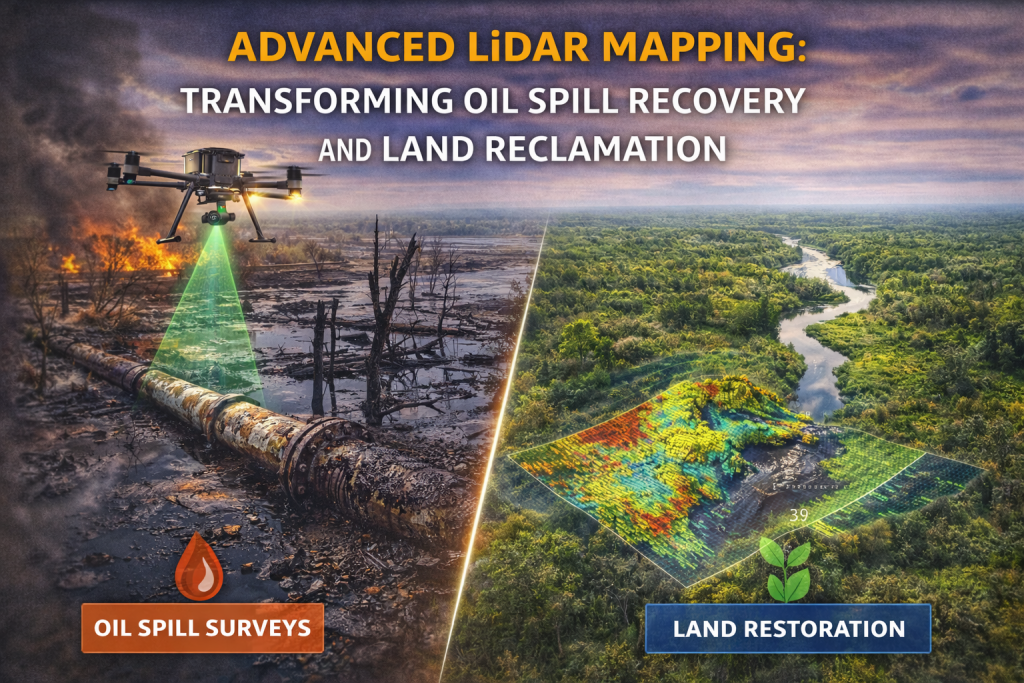
Advanced LiDAR Mapping is the silent hero of modern environmental protection. In the heart of the Niger Delta—home to one of the planet’s most delicate mangrove ecosystems—the stakes for environmental stewardship couldn’t be higher. As an industry, we are moving past reactive cleanup toward a future defined by precision, data, and genuine restoration. At AeroTech Services, we’ve seen firsthand how integrating Light Detection and Ranging (LiDAR) technology isn’t just a technical upgrade; it’s a moral imperative for responsible oil and gas operations.
What Exactly is LiDAR?
For those new to the term, LiDAR is an active remote sensing technology that uses rapid laser pulses to “paint” a 3D picture of the world. By measuring the time it takes for a laser beam to bounce off a surface and return to the sensor, we can generate incredibly dense “point clouds.”
Unlike traditional photography, Advanced LiDAR Mapping doesn’t care about shadows or thick leaves. It can “see” through the dense canopy of a mangrove forest to map the actual soil elevation underneath. This capability is revolutionary for teams like ours at AeroTech Services, allowing us to identify pooling oil or structural ground changes that would be invisible to the naked eye or a standard drone camera.
1. Precision Mapping of Oil Spills
While satellite radar is great for spotting massive slicks in the open ocean, it often fails when a spill hits the winding creeks and swamps of the Delta. This is where LiDAR changes the game.
- Actionable Thickness Data: Recent industrial experiments at facilities like Ohmsett have proven that LiDAR can detect oil thickness from a few microns to several millimeters. This helps us quantify exactly how much “actionable oil” is present, allowing for a smarter, faster response.
- Fluorescence Detection: Specialized “Fluorescent LiDAR” can actually detect oil suspended within the water column, not just on top. This is a massive win for stewardship, as it allows us to track submerged plumes before they settle into the sediment.
- Rapid UAV Deployment: By mounting these sensors on our high-end enterprise drones, AeroTech Services can bypass the logistical nightmares of ground access in swampy terrain, providing high-resolution impact maps within hours of a reported incident.
2. The Backbone of Land Reclamation
Once the immediate spill is contained, the long, difficult work of land reclamation begins. The goal is simple but ambitious: return the ecosystem to its functional, pre-spill state. Advanced LiDAR Mapping provides the blueprint for this entire process.
Topographic Accuracy
Oil contamination often changes the very structure of the soil, leading to subsidence or erosion. By conducting repeated LiDAR scans, we create a “before and after” digital elevation model (DEM). These models guide our engineers in soil replacement and drainage improvements, ensuring that water flows naturally through the restored site once again.
Monitoring Vegetation Health
Mangroves are notoriously resilient, but chronic oil exposure causes “sublethal” damage—stunted growth and thinning canopies. By fusing LiDAR data with hyperspectral imaging, we can measure the exact biomass of a forest. This allows AeroTech Services to provide regulators with empirical evidence of habitat recovery over months and years, rather than just guessing based on a few photos.
3. Why Advanced LiDAR Mapping is the Future of Stewardship
The shift from manual surveys to laser-based precision offers several undeniable benefits for the energy sector:
- Safety: We keep boots off the ground in hazardous, contaminated zones. Our drones do the “dirty work” from a safe altitude.
- Volumetric Integrity: We don’t estimate how much soil needs to be moved; we calculate it to the cubic centimeter. This level of precision is exactly what AeroTech Services prides itself on.
- Sustainability: Proactive use of LiDAR—such as regular pipeline integrity checks—can catch a leak before it becomes a disaster.
The Bottom Line
Environmental stewardship is no longer just about cleaning up a mess; it’s about a data-driven commitment to the earth. In the complex landscapes of Nigeria, adopting Advanced LiDAR Mapping is a vital step toward balancing essential energy production with the protection of our natural heritage.
At AeroTech Services, we aren’t just flying drones; we are providing the vision needed to restore our environment, one laser pulse at a time.